
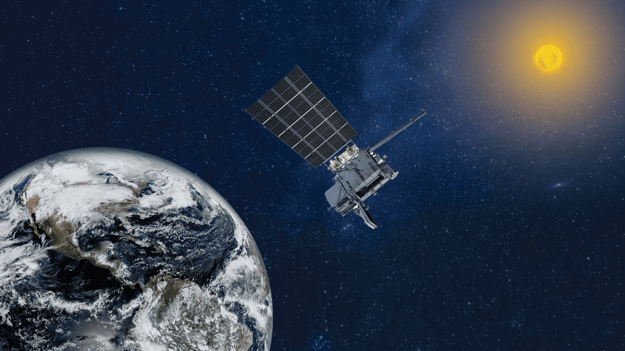
NOAA engineers began restoring GOES-19 on Thursday after the weather satellite entered an unexpected protective mode and stopped delivering imagery and other critical data across the eastern United States and Atlantic Ocean.
The disruption began at 4:23 p.m. EDT Wednesday and affected all GOES-19 products sent to National Weather Service forecasting systems and NOAA’s space weather operations. Engineers initially said the satellite had entered “safehold,” an automated state designed to protect the spacecraft during a serious anomaly.
The GOES-19 satellite went into an unexpected safehold yesterday – definitely a hold-your-breath moment. GOES-19 covers the Atlantic Ocean and the US during hurricane season.
— Dr. Levi Cowan (@TropicalTidbits) July 16, 2026
I believe GOES-16—which operated as GOES-East prior to GOES-19—can be reactivated to provide backup… https://t.co/PNzclNIpnr pic.twitter.com/Kp173f43Vt
NOAA said Thursday afternoon that engineers had resolved the safehold condition and were preparing to restart the satellite’s instruments. Its data collection and search-and-rescue services returned at 12:30 p.m. EDT. Engineers expected the Advanced Baseline Imager, the satellite’s main weather camera, to resume imaging around 3 p.m. EDT.
The agency said it would then restore the Geostationary Lightning Mapper, solar imaging equipment and other space weather instruments. The full recovery process was expected to take about eight hours, potentially extending into Thursday evening. Early images could have slightly reduced navigation accuracy during the first hour.
NOAA has not publicly identified the cause. Its operational notice said engineers were investigating a suspected satellite or instrument anomaly.
GOES-19 serves as NOAA’s GOES-East satellite from a fixed position about 22,236 miles above the equator. It became operational in April 2025, replacing GOES-16, which remains in orbit as the primary backup for either GOES-East or GOES-West. NOAA’s latest outage notice did not say GOES-16 had been activated.
The outage came during the Atlantic hurricane season, though the National Hurricane Center reported no active tropical cyclones in the Atlantic on Thursday morning.
Background
GOES-19 is the fourth and final spacecraft in NOAA’s GOES-R series. It launched on June 25, 2024, and entered service as GOES-East on April 7, 2025. The satellite watches the eastern United States, the Caribbean and the Atlantic Ocean from 75.2 degrees west longitude.
Its Advanced Baseline Imager tracks cloud development, tropical systems, wildfires, smoke, fog and severe thunderstorms. The Geostationary Lightning Mapper monitors lightning in near real time, giving forecasters another tool to assess rapidly strengthening storms. Other instruments monitor solar flares, radiation and magnetic activity that can affect satellites, communications and electrical systems.
NOAA maintains GOES-18 as its western operational satellite and stores GOES-16 and GOES-17 in orbit as backups. GOES-16 previously served as GOES-East and was moved into reserve after GOES-19 took over in 2025.



No comment yet, add your voice below!