Large Tornado Prompts PDS Warning in Illinois

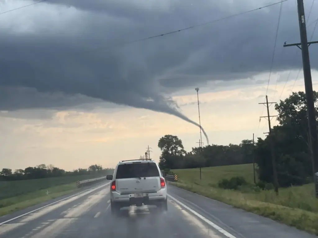
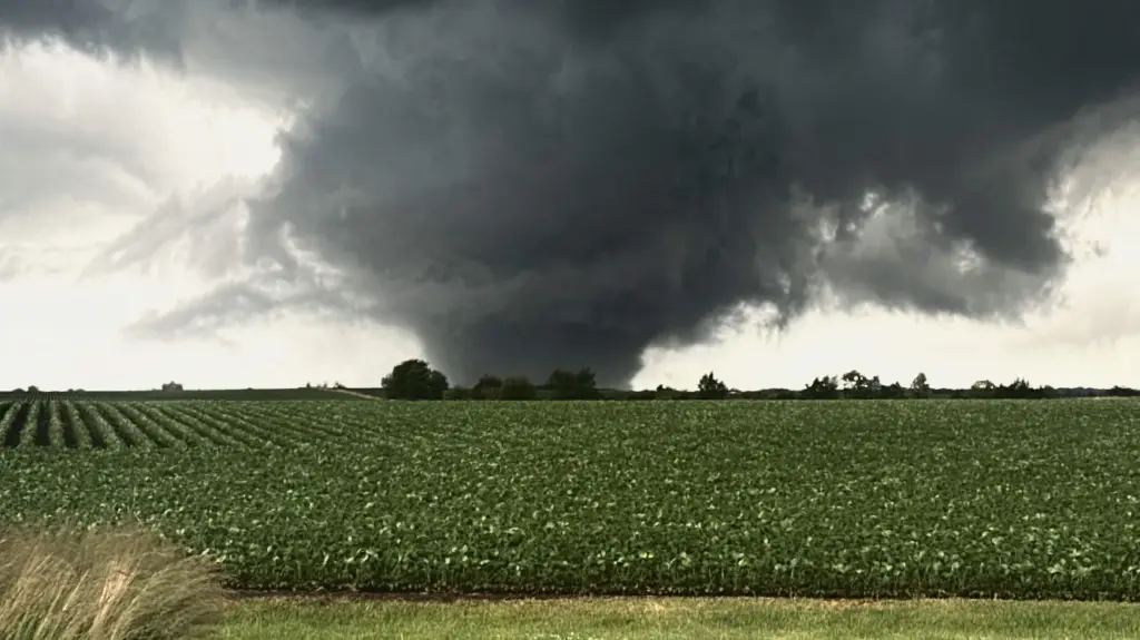
A series of rotating thunderstorms prompted multiple tornado warnings across northern Illinois Sunday night, including a particularly dangerous situation warning for portions of Henry and Bureau counties. At 9 p.m. CDT, the National Weather Service said a large and extremely dangerous tornado was near Johnson-Sauk Trail State Park, about 7 miles north of Kewanee, moving east at approximately 20 mph. Forecasters warned of a potentially damaging tornado and urged residents in its path to immediately seek shelter.
The tornado threat continued farther east through Bureau and Lee counties later in the evening. At 10:44 p.m., the National Weather Service maintained a tornado warning for northeastern Bureau County after radar detected rotation near La Moille, about 9 miles west of Mendota. A separate warning remained in effect for southeastern Lee County, where another rotating storm was located near Paw Paw. Farther south, another tornado warning was active for parts of Marshall, Stark and Peoria counties, where forecasters said a storm capable of producing a tornado was near Wyoming and moving east at 25 mph. Residents were warned that nighttime tornadoes can be difficult to see and not to wait for visual confirmation before taking shelter.
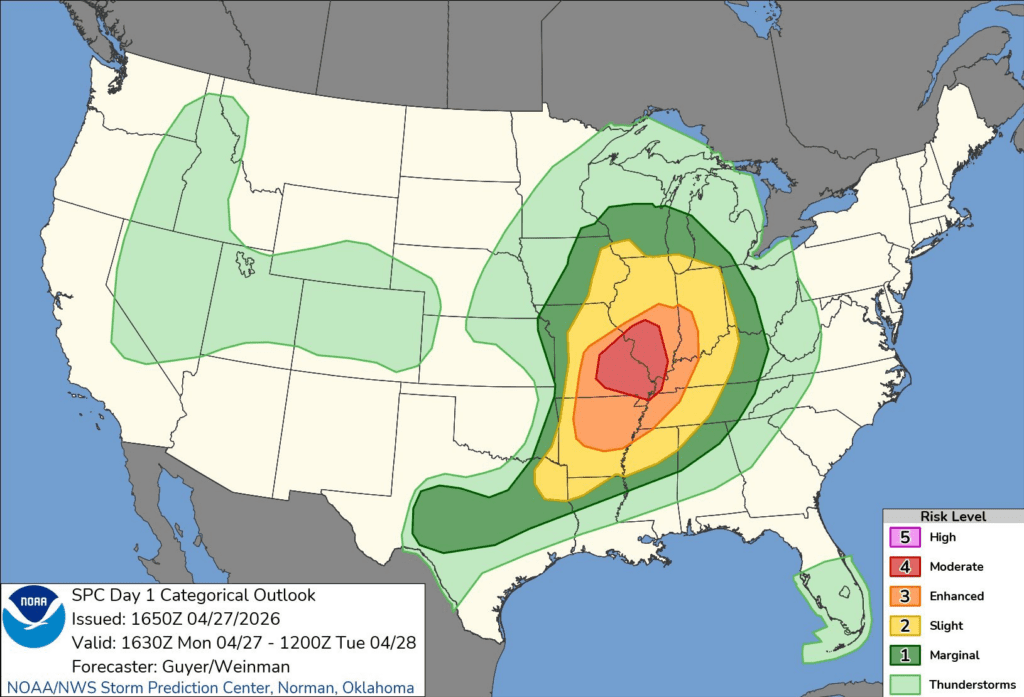
The broader severe weather threat was expected to persist overnight and into the beginning of the workweek. A severe thunderstorm watch covering much of northern Illinois remained in effect until 4 a.m. Monday, while a flood watch extended through 7 a.m. across northeastern Illinois and northwest Indiana. Forecasters said repeated thunderstorms could produce localized rainfall rates exceeding 2 inches per hour, with some areas already receiving between 1 and 3 inches Sunday. Additional rounds of thunderstorms were expected Monday through Wednesday, bringing continued risks of flash flooding and severe weather, particularly Monday into Tuesday.
This post has been updated with new information since it was published.